This page helps you find useful data and information on stream flow, irrigation, and snowpack.
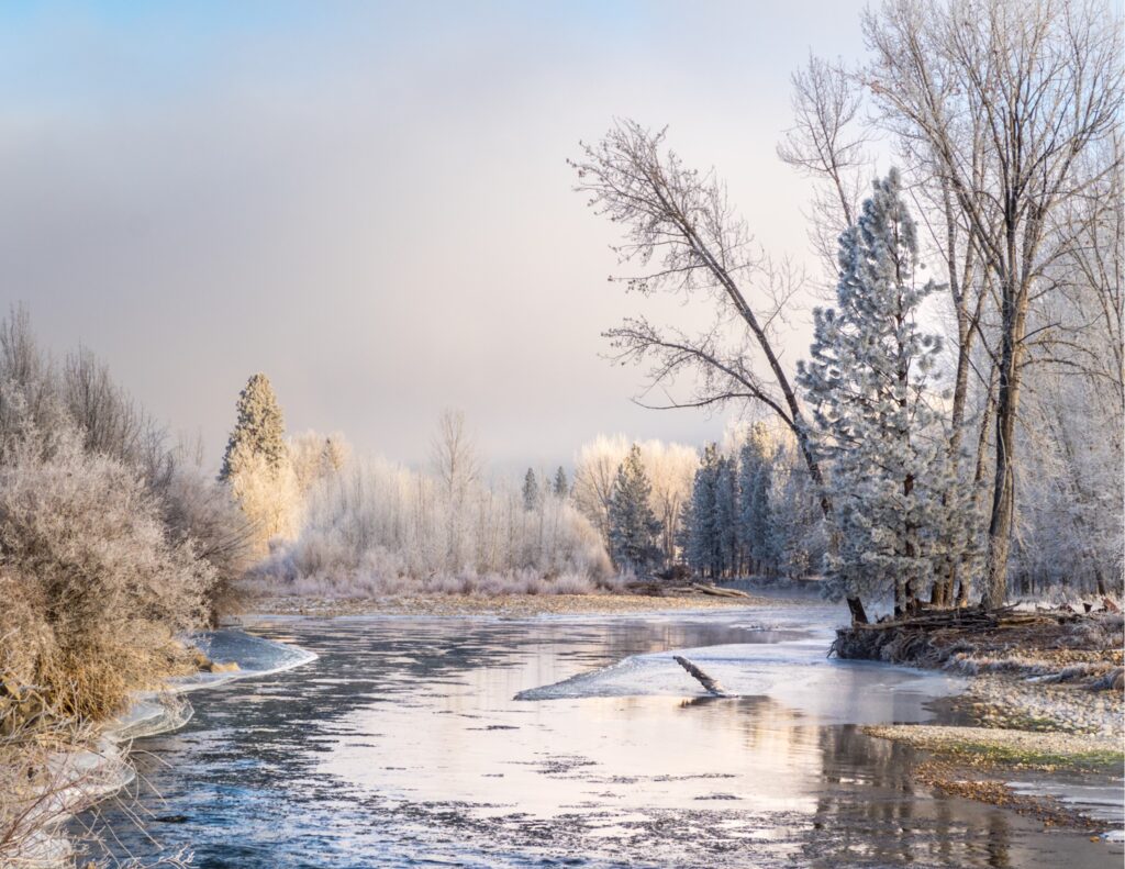
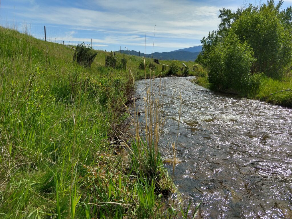
Stream Flow
The U.S Geological Survey (USGS) collects a number of stream information points such as depth, stream flow, and temperature. Throughout the Bitterroot Valley there are four gauges that measure these subtle changes on a daily basis. Visit our Bitterroot River Conditions Tool to explore this data.
The Montana Bureau of Mines and Geology (MBMG) offers an interactive map of the State’s surface water. Stay updated on water levels in the Bitterroot and elsewhere with this MBMG map.
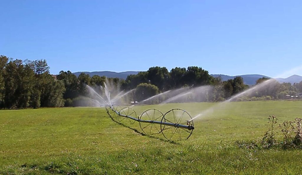
Irrigation
Ravalli County has over 100,000 Acres of irrigated land, with various sections managed based where irrigators receive their water (i.e. Painted Rocks Dam, Lake Como Reservoir, etc.). Multiple ditch management companies oversee the storage and release of water to water right-holding properties.
The 1958 Ravalli County Water Resource Survey helps people understand where ditches are located throughout the Montana. Use Part II of the document to identify which organization is responsible for providing water to your area of interest.
Have a question about yours or another ditch? Contact your Ditch Rider. An Irrigation District Contact List can be found below. The information provided is current as of July 2015 and will be updated as able.
Interested in the water rights in your area? You can look them up using the DNRC Water Rights Query System.
SnowPack
The Natural Resource Conservation Service (NRCS) operates SNOTEL system (Snow Telemetry), which collects snowpack data to inform accurate and reliable water supply forecasts. These forecasts help us prepare for upcoming seasons by predicting how much water will be available for irrigation, drought response, flood preparations, and more.
Check out what our snowpack looks like in the mountains surrounding our Valley!